Maps
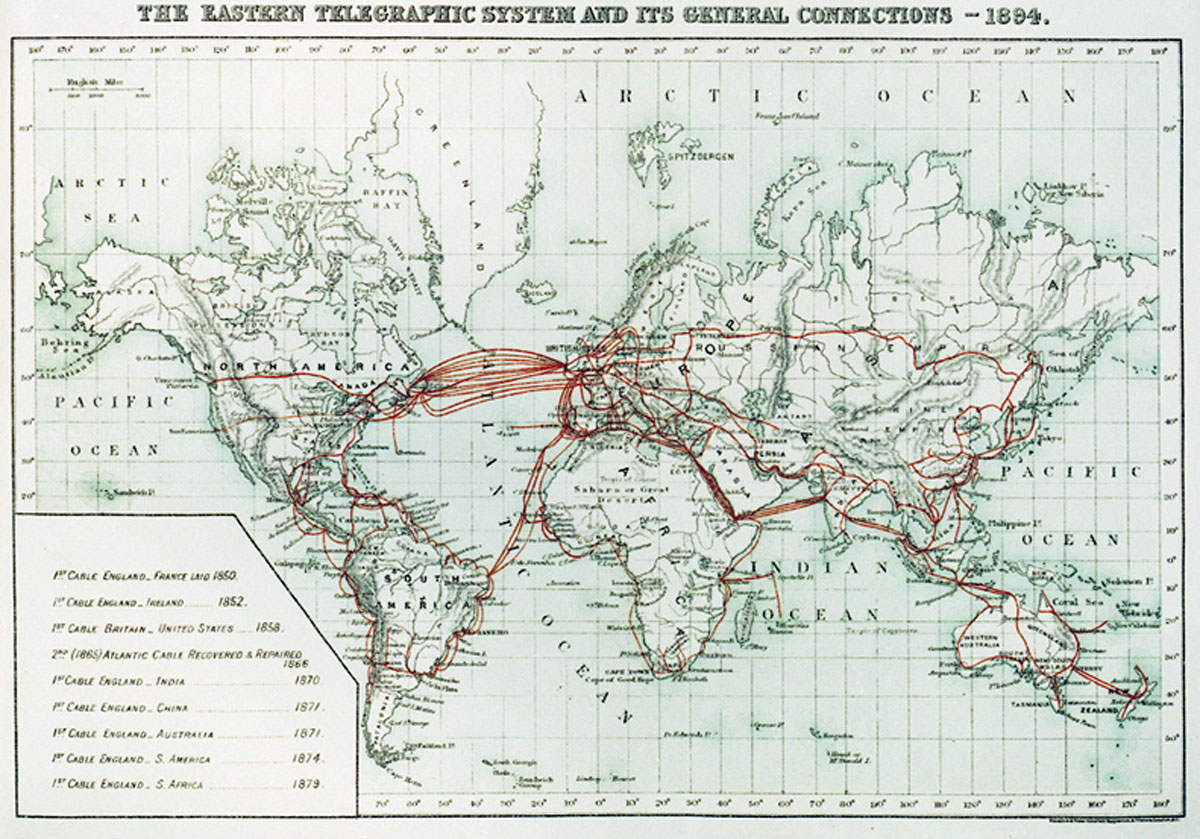
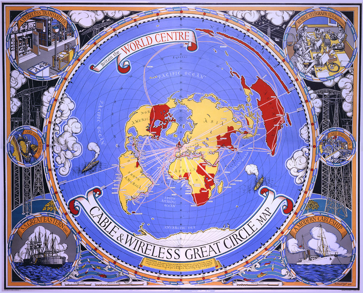
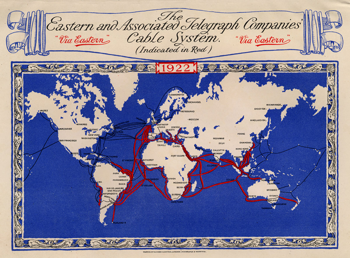
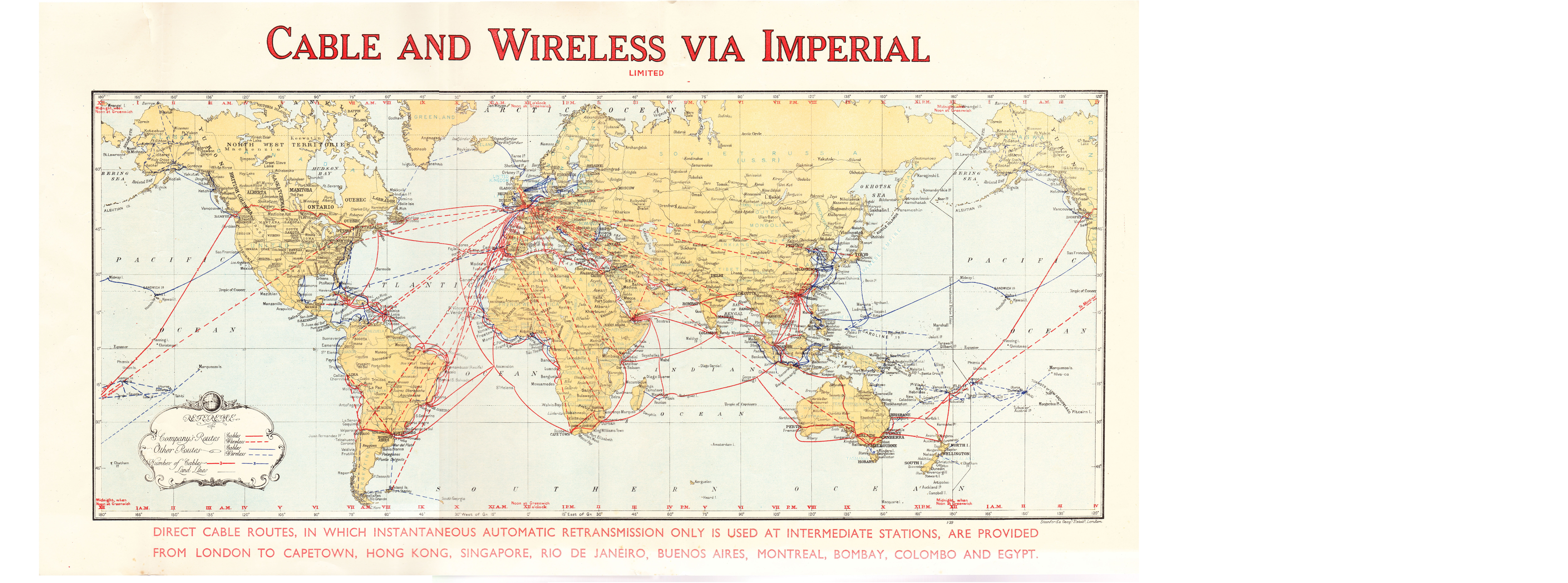
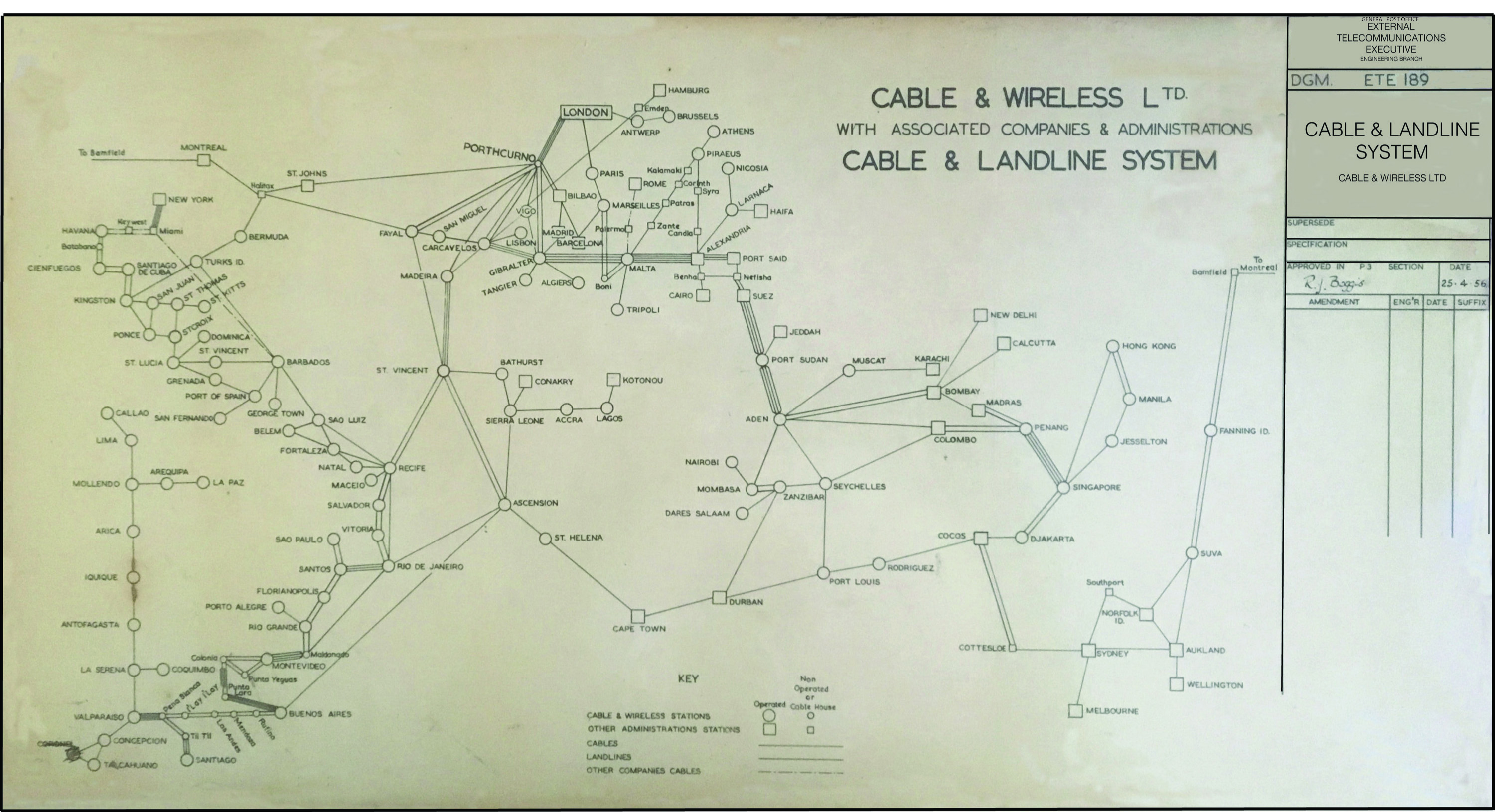
Here is a selection of Cable & Wireless maps, showing development of the network from the early days of the Eastern Telegraph Company, through to the mid-1930's. The selection is completed by a more functional, although less pleasing to the eye, Cable & Wireless Cable & Landline System map from 1956.
The 1930's "Cable and Wireless via Imperial" map is politically interesting, showing several countries under their old name. The Republic of Ireland is shown as "IFS" (Irish Free State), Israel is shown as Palestine, Ethiopia is shown as Abyssinia. Beijing is shown as "Peiping" not the familiar "Peking". Ominously, the "Japanese Empire" is also shown.
The Cable & Wireless Cable & Landline System map is a photo-reproduction from an original wallboard, kindly donated by George Hopwood.

